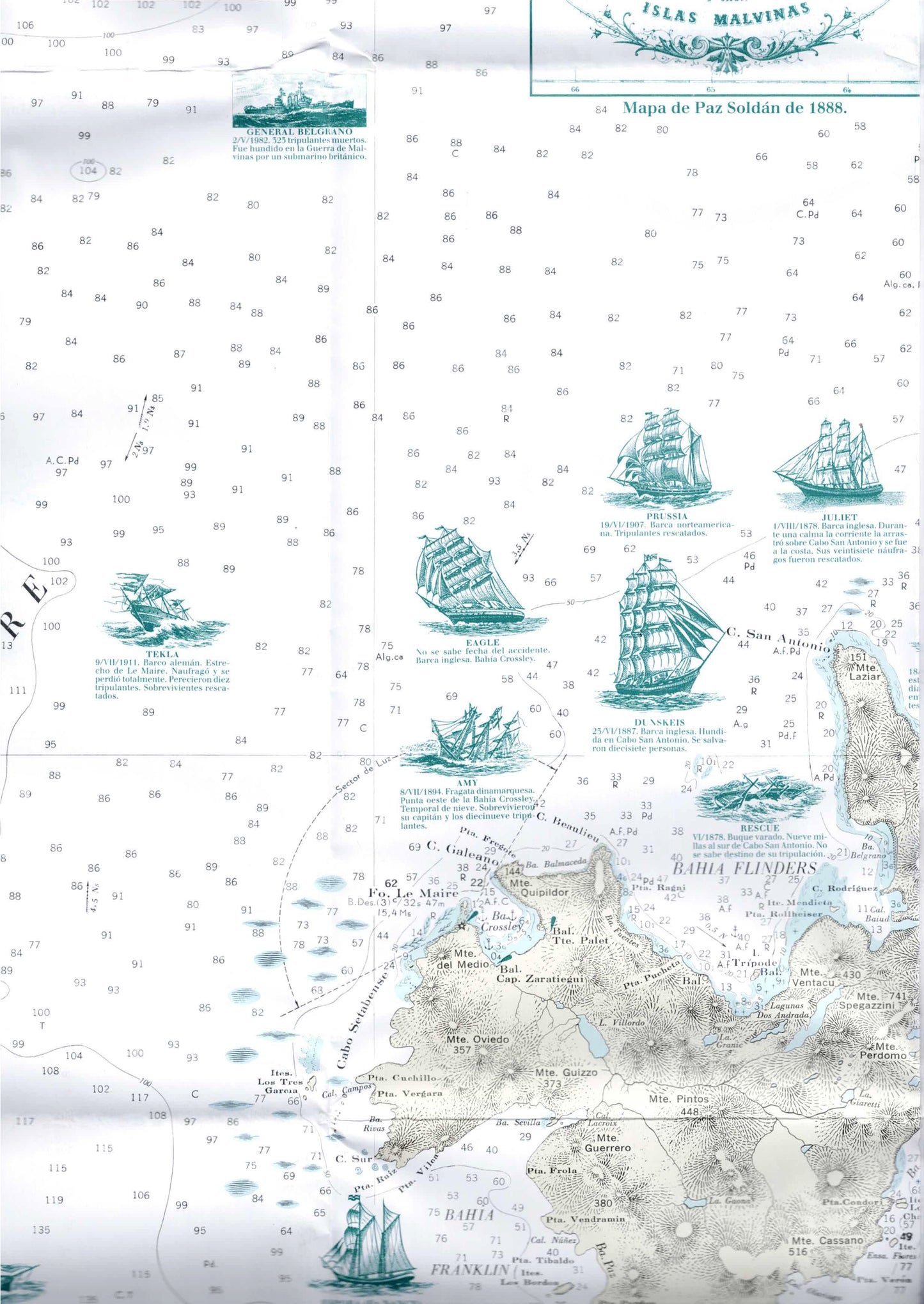
Historical Map of Isla de los Estados – Shipwrecks, Lighthouses, and Ruins
Historical Map of Isla de los Estados – Shipwrecks, Lighthouses, and Ruins
- Historical Map | Nautical Map | Navigation Map | Heritage Map
- Scale: 1:125,000
- Map in Spanish
Discover Isla de los Estados, the easternmost island of the Tierra del Fuego archipelago, through a detailed historical map that showcases the maritime history of one of the most isolated and mysterious regions in the Southern Hemisphere.
The map includes markings of historical shipwrecks, lighthouses, ruins, bays, anchorages, coastline features, sea depths, nautical landmarks, and heritage sites. It is suitable for maritime history researchers, navigation enthusiasts, map collectors, and anyone interested in the remote areas of Patagonia and Tierra del Fuego.
Features
• Isla de los Estados map
• Historical shipwreck markings
• Lighthouses and heritage sites
• Historical ruins
• Bays, ports, and anchorages
• Detailed coastline features
• Nautical and navigational information
• Suitable for research, collecting, and study
Couldn't load pickup availability