Map of the Caucasus – Armenia, Georgia, and Azerbaijan
Map of the Caucasus – Armenia, Georgia, and Azerbaijan
- Folded Caucasus Map with Flags and Data
- Scale: 1:1,550,000
- National Geographic
The detailed map of the Caucasus displays one of the most fascinating and unique regions between Europe and Asia. The map covers the Caucasus region between the Black Sea and the Caspian Sea, including Armenia, Georgia, and Azerbaijan, alongside neighboring areas in southern Russia, northeastern Turkey, and northwestern Iran.
The map combines a political map with a physical map, allowing for a clear understanding of national borders, major cities, transportation networks, rivers, mountain ranges, and the terrain of the region. At the center of the map are the ranges of the Greater Caucasus and the Lesser Caucasus, alongside valleys, coastal areas, and other key geographical features.
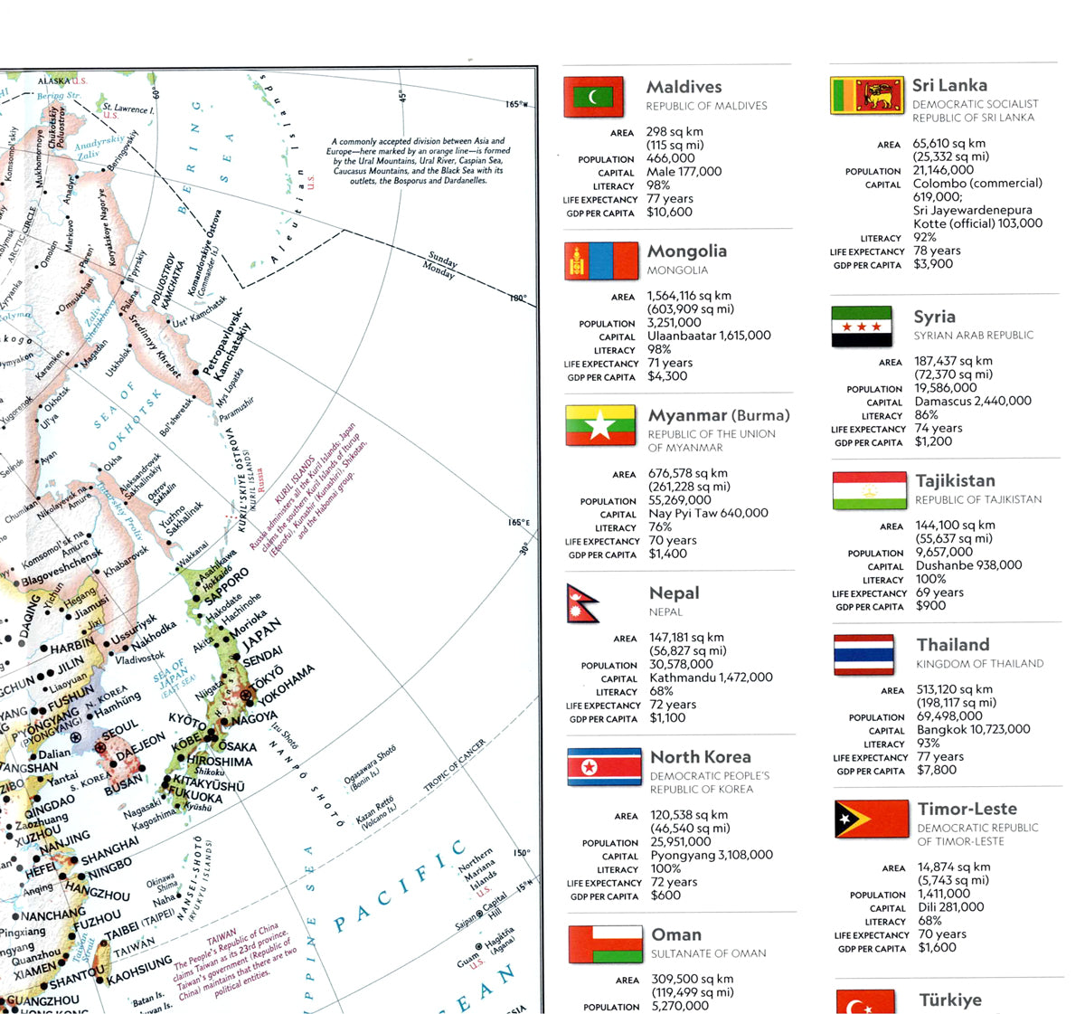
Beyond geographical information, the map also includes national flags and basic data about the countries, such as area, population, capital city, and GDP per capita. This results in a map that is not only a navigation and orientation tool but also a useful source of information for studying geography, history, and world regions.
The map also includes a context map of Asia, which allows for understanding the location of the Caucasus region within the broader Asian space.
What is featured on the map?
- Armenia, Georgia, and Azerbaijan
- Neighboring areas in southern Russia
- Northeastern Turkey and northwestern Iran
- The Black Sea and the Caspian Sea
- The Greater and Lesser Caucasus Mountains
- Major cities
- Political borders
- Rivers
- Road and transportation networks
- Terrain features and geographical contours
- National flags
- Statistical data on the countries
- Context map of Asia
Couldn't load pickup availability