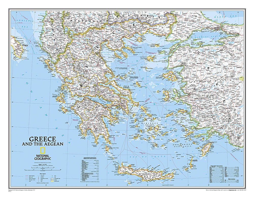
Greece map
Greece map
Regular price
120.00 ₪
Regular price
Sale price
120.00 ₪
Taxes included.
Quantity
Couldn't load pickup availability
- Greece
- The map is in English
- Size 80x60 cm
- National Geographic
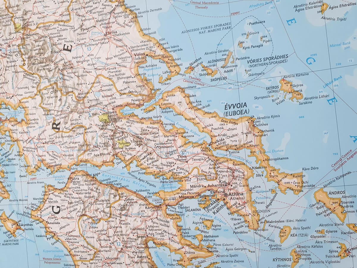
The National Geographic Wall Map of Greece and the Aegean Sea is one of the largest and most detailed maps of the area. The map covers Greece and the areas bordering Albania, Macedonia, Bulgaria and Turkey. Surrounding waterways, such as the Aegean and Ionian seas, are shown with curves of depth and attention along with hundreds of islands, including Crete, Rhodes and Oboa. Also displayed are thousands of place names, exact borders, national parks, ruins and major infrastructure networks such as roads, airports, railways, canals and ferry routes.
The map can be pasted on Kappa (hard foamed cardboard) and framed for an additional fee depending on the type of framing, contact us for more details.


