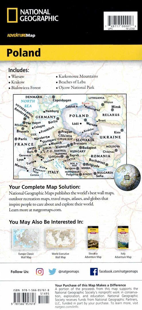
Poland map
Poland map
- Travel map
- Scale: 1:750,000
- National Geographic
The Poland Adventure Map is a detailed and convenient travel tool for travelers interested in discovering spectacular landscapes, historic cities, and unique heritage sites. The map includes a clear index of cities and towns, a road network with distance markings, highways, main and secondary roads, and allows for accurate and convenient route planning.
The map marks hundreds of natural, cultural and historical points of interest, including national parks, museums, churches, castles and palaces, alongside airports, railways and ferry routes. One side shows western Poland from the border with Germany and the Czech Republic to the Warsaw area, and the other side shows the east of the country from the Baltic Sea in the north to the mountainous border with Slovakia in the south. In addition, borders with Ukraine, Belarus, Lithuania and the Kaliningrad region are marked. Poland has 14 UNESCO World Heritage Sites, as well as mountain ranges, seashores and vibrant cities – all of which appear on the detailed map. The map is printed on durable, waterproof and tear-resistant synthetic paper, and is suitable for international travel and excursions.
Couldn't load pickup availability