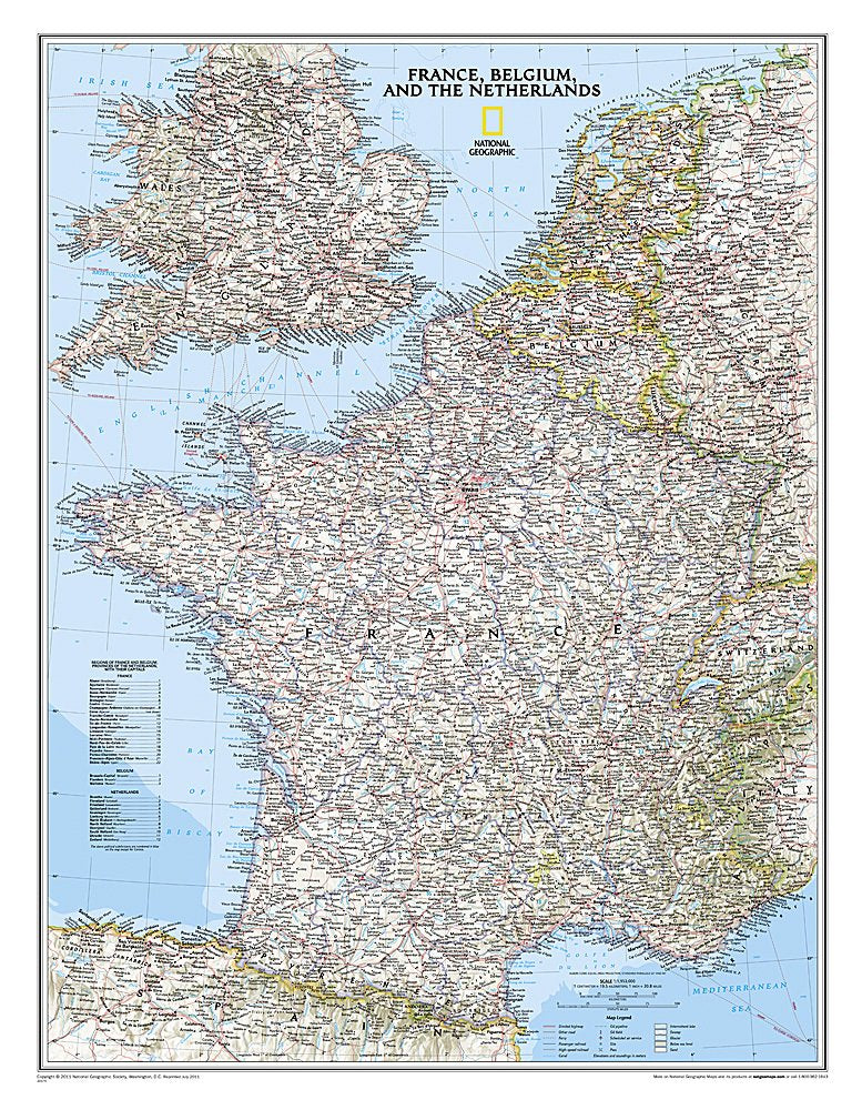


Map of France, Belgium and the Netherlands
Map of France, Belgium and the Netherlands
- France, Belgium and the Netherlands
- The map is in English
- Size 80x60 cm
- National Geographic
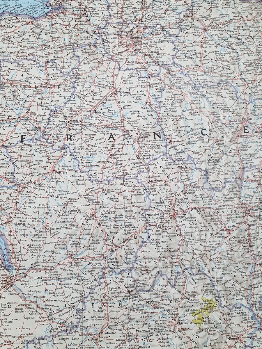
National Geographic's map of France, Belgium and the Netherlands includes clearly defined international borders, thousands of place names, reservoirs, airports, roads, national parks and more. The area's updated infrastructure is also shown, including oil fields and central pipelines; high-speed passenger train lines; canals and ferry routes. The map covers Luxembourg and parts of the UK, Germany, Switzerland, Spain and Italy.
* It is not possible to send framed and/or pasted maps by registered mail.
**It is not possible to order a map pasted on Kappa including lists.
**It is not possible to order a map pasted on Kappa including lists.
Regular price
120.00 ₪
Regular price
Sale price
120.00 ₪
Taxes included.
Shipping calculated at checkout.
Quantity
Couldn't load pickup availability