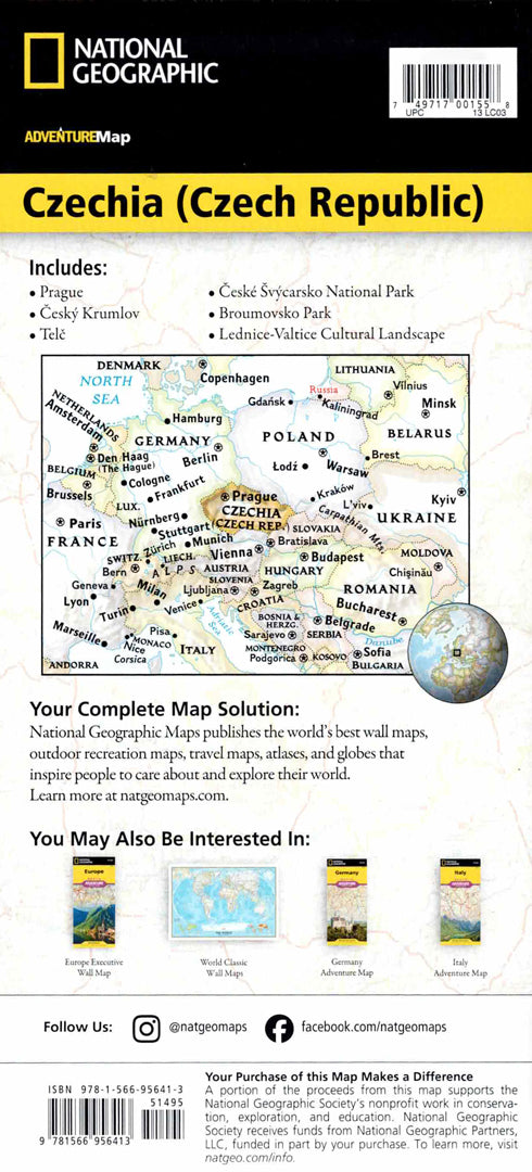
Czech Republic map
Czech Republic map
- Travel map
- Scale: 1:380,000
- National Geographic
The Czech Republic Adventure Map is designed for travelers interested in exploring a country rich in history, culture, and diverse landscapes. The map includes an index of thousands of cities and towns, a detailed road network with distance markings, motorways, expressways, and secondary roads – ideal for planning a romantic trip in Central Europe.
The map shows hundreds of points of interest, including World Heritage sites, castles, churches, museums, botanical gardens, winter sports sites and archaeological sites. One side shows the eastern Czech Republic up to the border with Slovakia and Poland, and the other side shows the western part of the country including Prague and the border with Germany. Airports, railways and cable cars are also marked. Printed on durable, waterproof and tear-resistant synthetic paper – suitable for city trips and nature.
Couldn't load pickup availability