Bali Map
Bali Map
- Travel Map
- Scale: 1:250,000
- Periplus TravelMaps
The Bali travel map is an excellent tool for travelers looking to discover one of the world's most popular tourist destinations. The map combines detailed geographical information with roads, cities, beaches, resorts, tourist sites, and travel routes, allowing for convenient planning of trips across the island.
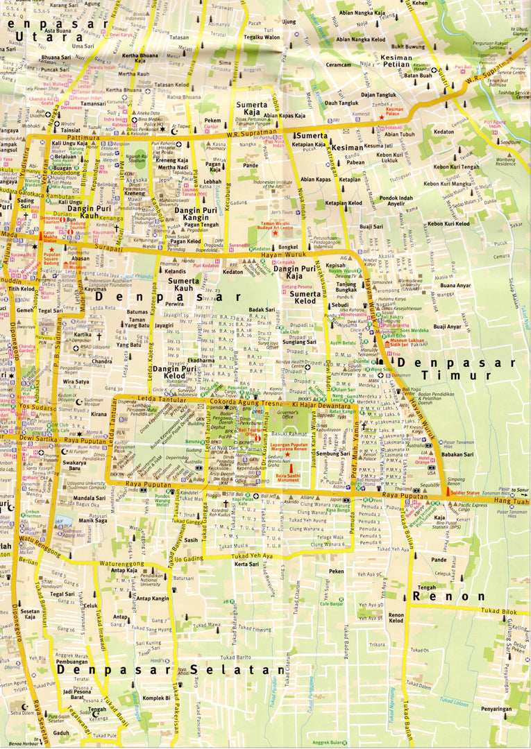
The map includes a general map of Bali at a scale of 1:250,000, a detailed map of South Bali at a scale of 1:100,000, as well as maps of cities and central areas including Denpasar, Kuta, Nusa Dua, Ubud, Sanur, Gianyar, Semarapura, Singaraja & Lovina Beach, Candidasa, and Tabanan.
Scales:
• Bali – 1:250,000
• South Bali – 1:100,000
• Denpasar – 1:20,000
• Kuta Area – 1:25,000
• Nusa Dua Area – 1:15,000
• Ubud Area – 1:25,000
• Sanur – 1:15,000
• Gianyar & Semarapura – 1:15,000
• Singaraja & Lovina Beach – 1:25,000
• Candidasa – 1:10,000
• Tabanan – 1:20,000
The map is especially suitable for independent travelers, families, backpackers, and lovers of nature, beaches, and culture, serving as a perfect tool for planning itineraries, vacations, and road trips in Bali.
Couldn't load pickup availability