Guatemala Map
Guatemala Map
- Travel map
- Scale: 1:500,000
- National Geographic
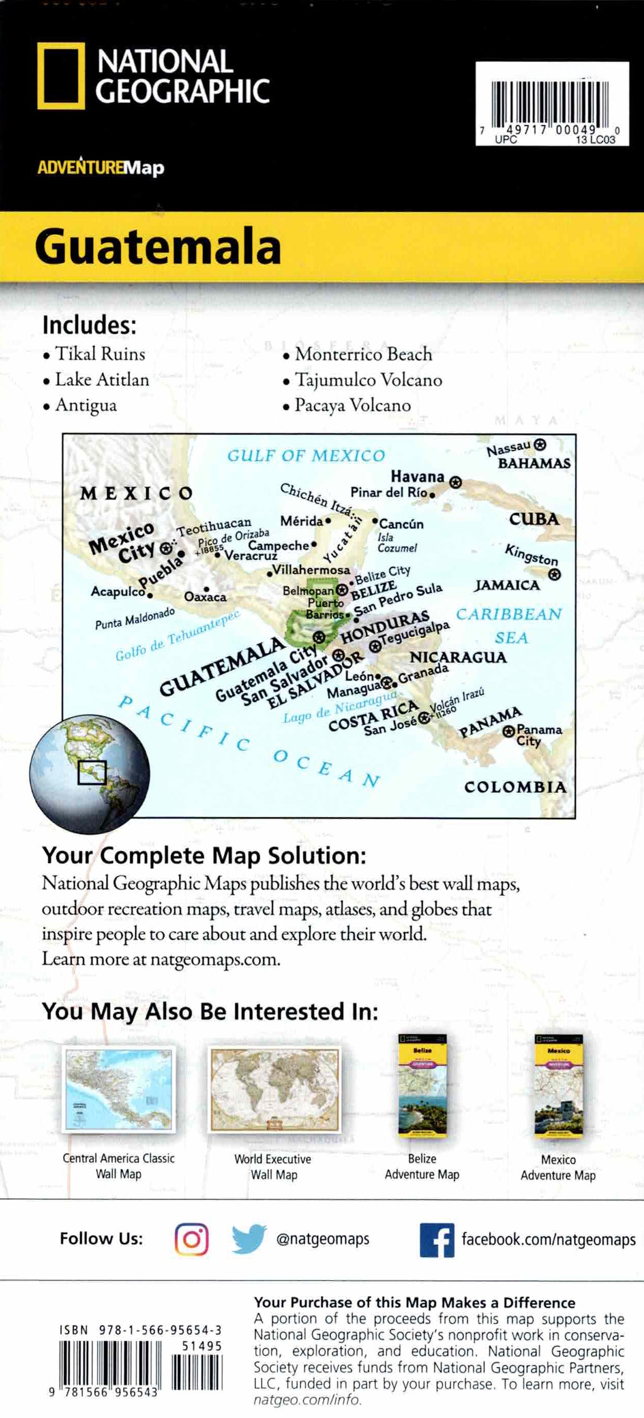
The Guatemala Adventure Map is designed for travelers who want to explore ancient Mayan culture and diverse natural landscapes. The map combines a clear road network with distance markings, major and minor roads, country roads, an index of cities and towns, and detailed topographical information. Airports, border crossings, ferry routes, and railroads are also marked - ideal for independent travel in Central America.
The map includes hundreds of cultural and natural points of interest, including Tikal and El Mirador, Antigua (a World Heritage Site), Lake Atitlan, Lake Isabel, Pacaya Volcano, Pacific beaches and sites along the Gulf of Honduras. One side shows northern Guatemala and the border areas with Mexico and Belize, and the other side shows the south and the Pacific coast. Printed on durable, waterproof and tear-resistant synthetic paper - perfect for trekking, Mayan sites and outdoor adventures.
Couldn't load pickup availability