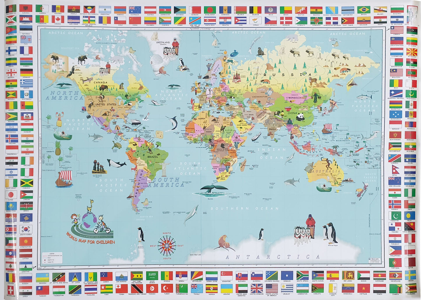
World map for children in English
World map for children in English
- An illustrated and drawn world map for children
- Size 100x70 cm
- 2018 update
- Laminated
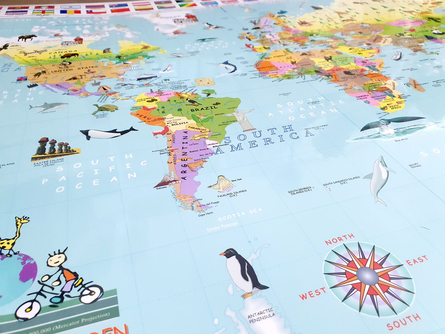
The map in English is illustrated and drawn with over 500 illustrations that describe the characteristics of every country in the world, such as: the Eiffel Tower in Paris, the Great Wall of China, a panda growing in China, a kangaroo in Australia, the location of the sinking of the Titanic and more. In each country the capital city is marked. The map is suitable for ages 3 to 10 and can be an original and amazing birthday present.
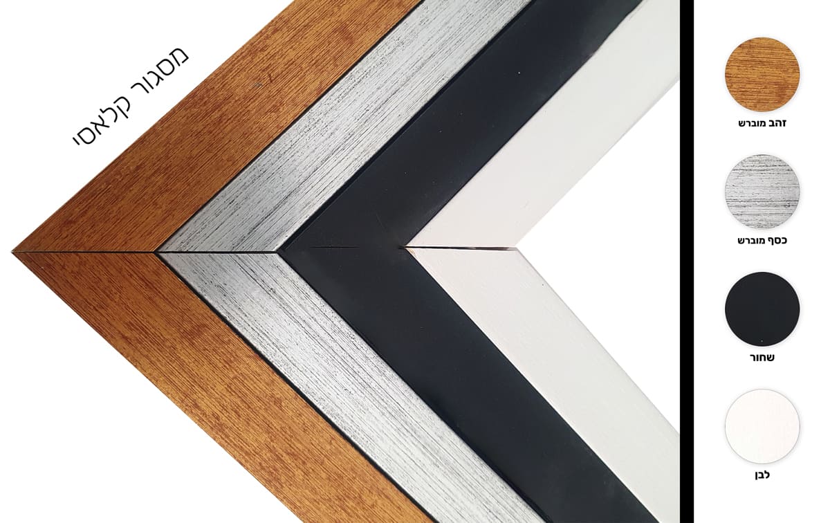
* It is not possible to send framed and/or pasted maps by registered mail.
**It is not possible to order a map pasted on Kappa including lists.
Regular price
72.00 ₪
Regular price
Sale price
72.00 ₪
Taxes included.
Shipping calculated at checkout.
Quantity
Couldn't load pickup availability