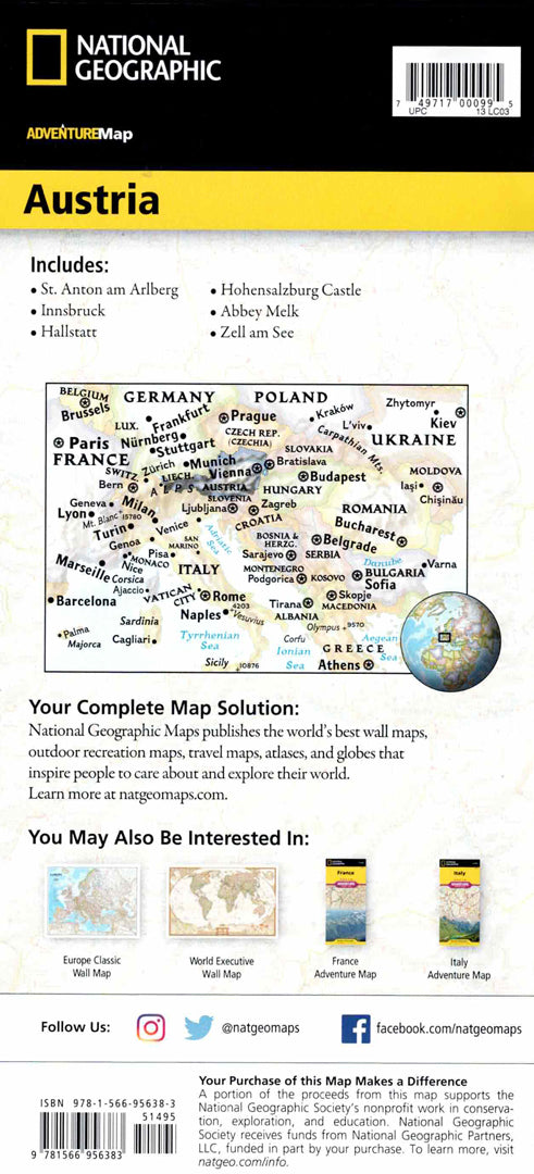
Austria map
Austria map
- Travel map
- Scale: 1:415,000
- National Geographic
The Austria Adventure Map is designed for travelers looking to discover baroque architecture, alpine villages, and breathtaking mountain scenery. The map includes a convenient index of cities and towns, a road network with distance markings in kilometers, highways, and main and secondary roads – ideal for planning a trip to the Austrian Alps.
The map marks hundreds of natural and cultural points of interest, including World Heritage Sites, castles, botanical gardens, wildlife parks, museums and archaeological sites. One side shows western Austria, including the Tyrol and Salzburg regions and the borders with Switzerland, Germany and Italy, and the other side shows the east of the country, including Vienna, Styria and Burgenland and the borders with the Czech Republic, Slovakia and Hungary. Printed on durable, waterproof and tear-resistant synthetic paper - suitable for trekking, skiing and nature walks.
Couldn't load pickup availability