Italy map
Italy map
- Travel map
- Scale:1:1,000,000
- National Geographic
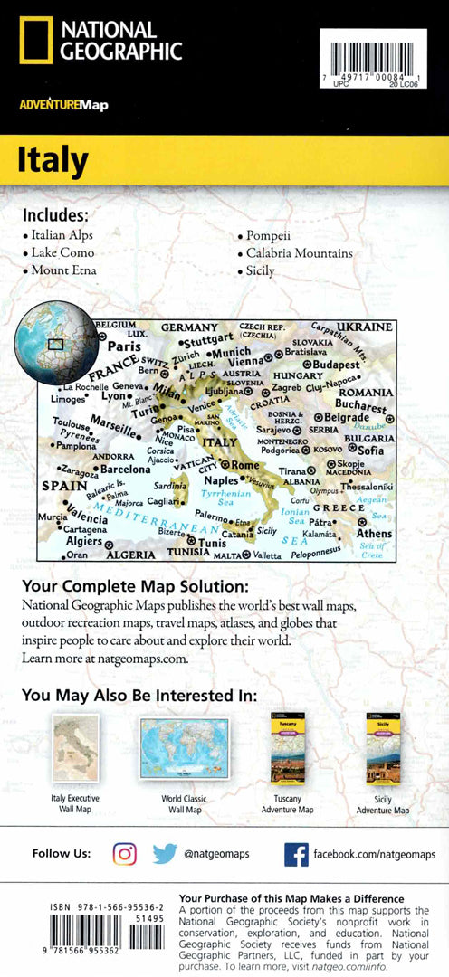
A detailed travel map of Italy, one of the most visited and richest countries in culture and history in Europe.
The map includes major cities and famous sites such as Rome, Tuscany, Lombardy, Veneto, and the Alps in the north, along with the regions of southern Italy and the islands of Sicily and Sardinia.
Hundreds of points of interest are marked, including UNESCO World Heritage Sites, museums, castles, churches, parks and lookout points. A complete road network with distances, highways and scenic routes allows for convenient planning of travel routes throughout the country.
Printed on both sides and provides full coverage of northern and southern Italy.
Printed on extremely strong synthetic paper — waterproof and tear-resistant — perfect for trips to culture, nature, and historic cities.
Suitable for:
• A trip to Italy
• Exploring historic cities and heritage sites
• Planning travel routes across the country
• Nature and landscape tours in Europe
Couldn't load pickup availability