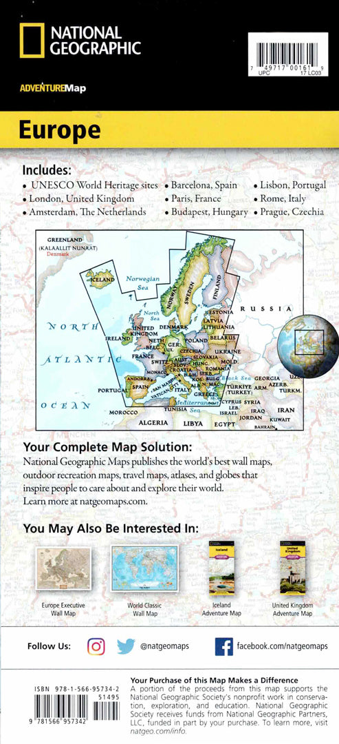
Map of Europe
Map of Europe
- Map of Europe
- Scale: 1:3,600,000
- National Geographic
The Adventure Map of Europe is designed for travelers who want to explore the continent in a convenient and in-depth way. The map includes a clear index of cities and towns, a detailed road network with distance markings, highways, main and secondary roads, as well as alternative routes to less touristy areas.
Europe is rich in hundreds of UNESCO World Heritage Sites, both cultural and natural, and all are marked on the map and also appear in a dedicated index for quick location. One side of the map shows Northern Europe, including Scandinavia, Finland, and Iceland, and the other side shows most of continental Europe and the Mediterranean countries, with each country highlighted in a different color. The map also includes major roads and ferry routes, allowing navigation between large cities like London and Paris to small towns and rural areas. The map is printed on high-quality synthetic paper, waterproof and tear-resistant, and suitable for international travel and excursions.
Couldn't load pickup availability