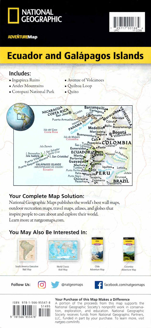
Map of Ecuador and the Galapagos Islands
Map of Ecuador and the Galapagos Islands
- Travel map
- Scale: 1:750,000
- National Geographic
A detailed travel map of Ecuador and the Galapagos Islands, designed for travelers looking for accuracy, complete coverage, and durability in terrain conditions.
The map includes Quito, the Cotopaxi Volcano and National Park, the Coyabeno Reserve in the Amazon, the city of Guayaquil, and the Podocarpus National Park in the south. In addition, natural areas, beaches, diving sites, animal reserves, and archaeological sites are also listed.
Includes a complete road network with distances, off-road roads for 4X4 vehicles, airports, ports and border crossings to Colombia and Peru.
Special addition: a sub-map of the Galapagos Islands with markings of the national park, turtle sanctuary, and unique diving areas.
Printed on extremely strong synthetic paper — waterproof and tear-resistant — perfect for nature trips, the Amazon, and the Galapagos.
Suitable for:
• Trip to Ecuador
• Exploring the Andes and the Amazon
• Visit to the Galapagos Islands
• Planning nature and adventure routes
Couldn't load pickup availability