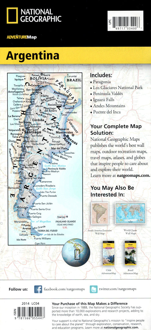


Argentina map
Argentina map
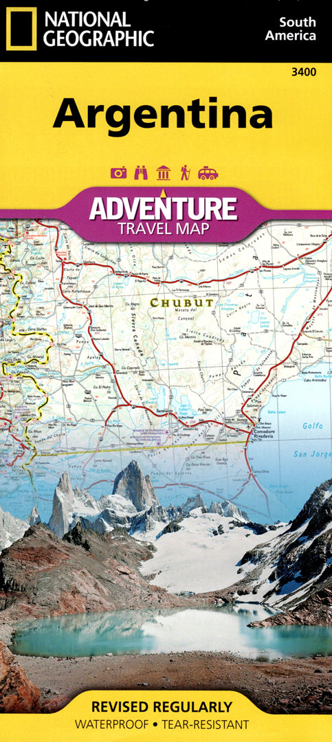
- Travel map
- Scale: 1:2,300,000
- National Geographic
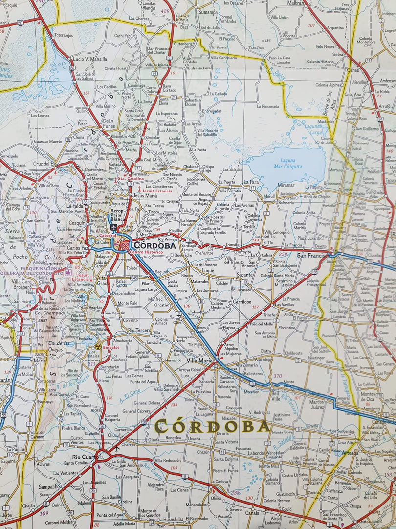
A detailed travel map of Argentina – one of the largest and most diverse countries in South America.
The map includes Buenos Aires, Cordoba and Santa Fe, alongside the Andes mountain range along the border with Chile and the famous wine region of Mendoza. In addition, ski areas, nature reserves, beaches and heritage sites are also listed.
The southern part of the map shows the long coastline of Argentina from the south of Mar del Plata to Tierra del Fuego, with nature, fishing and surfing areas.
A complete road network with distances, main and secondary roads, and off-road routes allows for easy planning of travel routes throughout the country.
Printed on extra strong synthetic paper — waterproof and tear-resistant — perfect for nature trips and adventures in South America.
Suitable for:
• Trip to Argentina
• Exploring the Andes Mountains
• Visit to the Mendoza wine region
• Route planning in South America
Couldn't load pickup availability