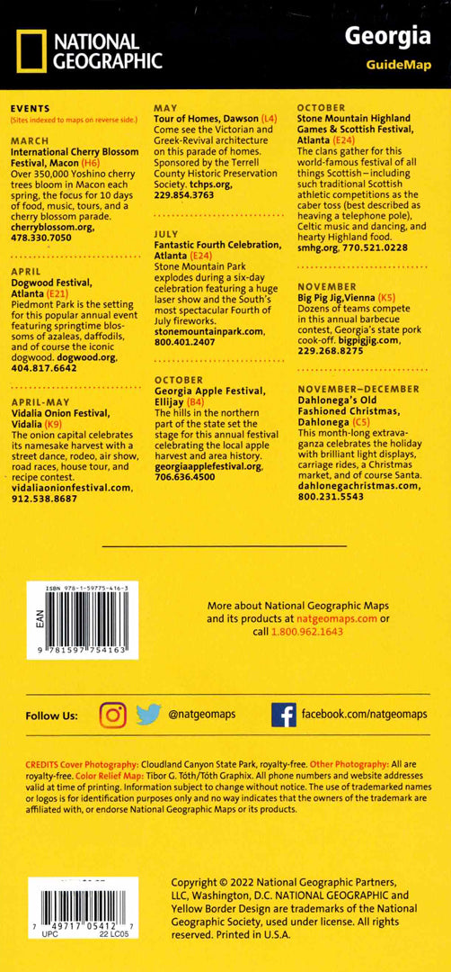
Map of Georgia, USA
Map of Georgia, USA
- Travel map
- Scale: 1:1,314,000
- National Geographic
The Georgia (USA) Guide Map combines a detailed map with essential tourist information for travelers. The map includes an easy-to-use index of cities and towns, a complete road network with distances in miles, highways and toll roads, as well as markings of national and state parks, campgrounds, visitor information centers, airports and hospitals.
The map features hundreds of historical, cultural and natural points of interest, including detailed maps of Atlanta, Savannah, Athens, Augusta, Macon and Columbus. Also highlighted are the Okeechobee Wetlands and the scenic drive of the coastal islands from Savannah to Jekyll Island. Printed on durable, waterproof and tear-resistant synthetic paper – ideal for city trips and wilderness exploration in the largest state east of the Mississippi River.
Couldn't load pickup availability