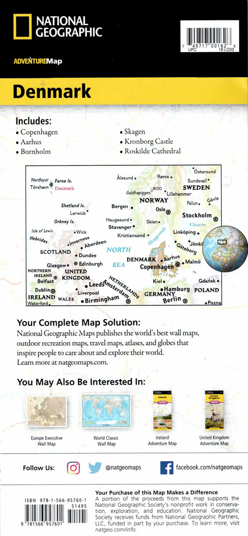
Denmark map
Denmark map
- Travel map
- Scale: 1:320,000
- National Geographic
The Denmark Adventure Map allows you to explore the country's more than 100 islands, connected by bridges and long tunnels. The map includes a clear index of cities and towns, a detailed road network with distance markings, highways and main roads, as well as secondary roads for travelers looking for less-traveled routes.
The map marks hundreds of natural, cultural and historical points of interest, including national parks, nature reserves, World Heritage sites and archaeological sites. Airports, railways, ferry routes and lighthouses are also shown. One side of the map shows the northern Jutland peninsula and the North Island, and the other side shows the southern part of the country, including the islands of Funen, Zealand and Falster. The map is printed on durable, waterproof and tear-resistant synthetic paper, and is suitable for international travel and excursions.
Couldn't load pickup availability