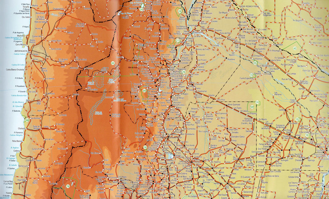
Map of Southern South America – Argentina, Chile, Southern Bolivia, Paraguay and Uruguay
Map of Southern South America – Argentina, Chile, Southern Bolivia, Paraguay and Uruguay
- Travel Map
- Scale: 1:4,000,000
- World's End
A map of Southern South America covering Argentina, Chile, Southern Bolivia, Paraguay, and Uruguay. The map includes a detailed road network, political boundaries, cities, national parks, nature reserves, and major natural sites throughout the region.
This is an ideal map for planning trips across South America, for road trips, backpacking tours, and for travelers interested in exploring the Patagonia region, the Andes Mountains, Tierra del Fuego, the Atacama Desert, Iguazu Falls, and other areas. Additionally, the map includes the Malvinas Islands (Falkland Islands), Easter Island (Rapa Nui), and the Juan Fernández Archipelago.
The map is suitable for travelers, nature enthusiasts, tour guides, tourism companies, educational institutions, and anyone looking for a high-quality wall map of South America. Printed in high quality with an option for lamination to preserve the map for many years.
Couldn't load pickup availability