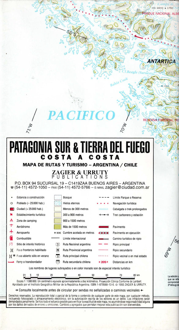
Map of Southern Patagonia and Tierra del Fuego
Map of Southern Patagonia and Tierra del Fuego
- Hiking map
- Scale: 1:1,000,000
- World's End
The map of Southern Patagonia and Tierra del Fuego covers the southern region of Argentina and Chile, including a detailed road network, cities, towns, border crossings, national parks, lakes, glaciers, fjords, and mountains.
This map is especially suitable for planning road trips, journeys along the Carretera Austral, visiting Torres del Paine National Park, Tierra del Fuego, Puerto Natales, the Strait of Magellan, and the unique natural areas of Southern Patagonia.
This is an excellent map for travelers, backpackers, drivers, nature and geography enthusiasts, tourism companies, and offices. It is printed in high quality and is suitable for use on trips or as a wall map.
Regular price
89.00 ₪
Regular price
Sale price
89.00 ₪
Taxes included.
Shipping calculated at checkout.
Quantity
Couldn't load pickup availability