Map of Southern France
Map of Southern France
- Hiking map
- Scale: 1:465,000
- National Geographic
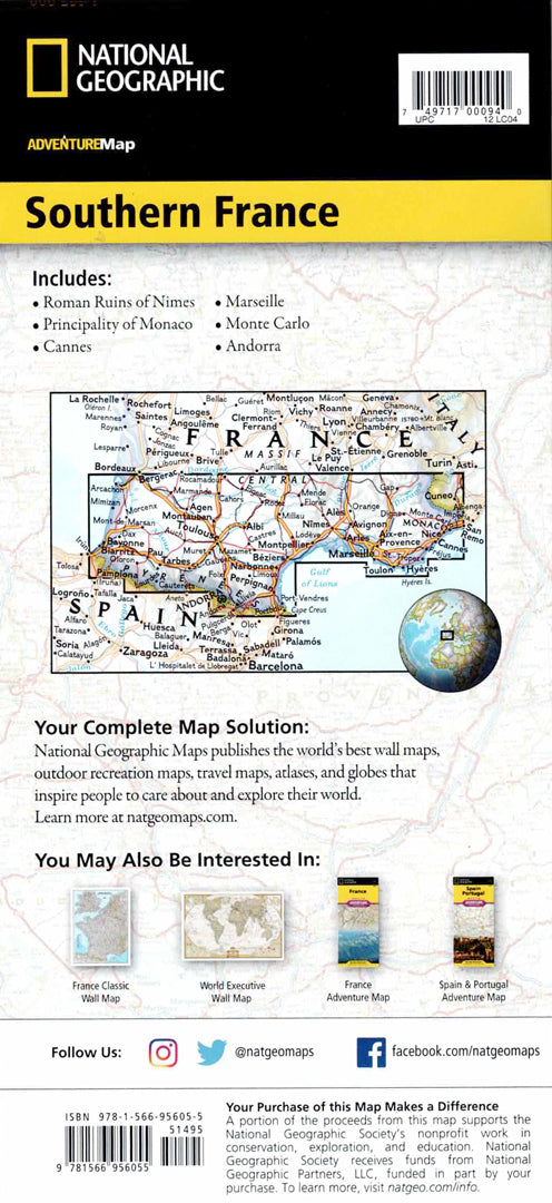
The South of France Adventure Map from Discover a region rich in history, culture, cuisine and breathtaking scenery. The map presents cities and towns using a convenient index, a clear road network with distance markings, highways and secondary roads – including routes to less touristy areas. In addition, hundreds of natural, cultural and historical points of interest are listed, such as national parks, beaches, ski resorts, archaeological sites, castles, churches and resorts.
The front side of the map focuses on the east of the region – from the French Riviera, the Mediterranean coast and the Gulf of Lyon to the borders with Monaco and Italy. The back side shows the west of southern France, from the Atlantic Ocean to the borders with Spain and Andorra. The map also includes markings of airports, railways and ferry routes. The map is printed on durable synthetic paper, waterproof and tear-resistant, and suitable for travel and hiking in field conditions.
Couldn't load pickup availability