Map of southern Sweden and Norway
Map of southern Sweden and Norway
- Travel map
- Scale: 1:975,000
- National Geographic
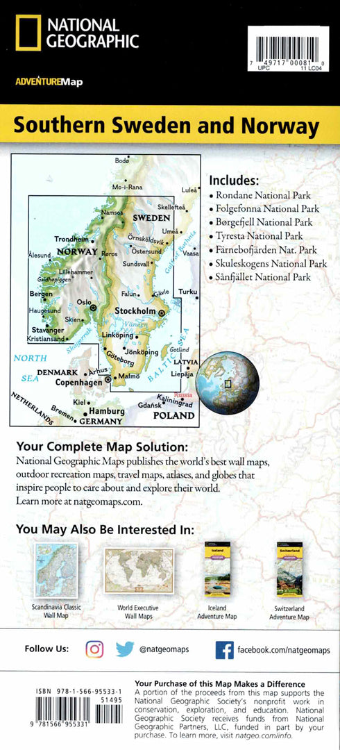
A detailed hiking map of southern Sweden and Norway, a region known for its dramatic landscapes of fjords, mountains, forests and long beaches.
The map includes major cities such as Oslo, Bergen, Stavanger, Kristiansand and Malmö, alongside national parks, museums, castles, churches and heritage sites.
A complete road network with distances and road classifications allows for convenient route planning, along with markings of airports, railways, ports, and ferry lines.
The map is printed on both sides and shows the areas of southern Norway and Sweden, including the coastlines and fjords.
Printed on extra strong synthetic paper — waterproof and tear-resistant — perfect for nature walks and adventures in Scandinavia.
Suitable for:
• A trip to Norway and Sweden
• Exploring fjords and natural landscapes
• Planning travel routes in Scandinavia
• Visiting historic cities in Northern Europe
Couldn't load pickup availability