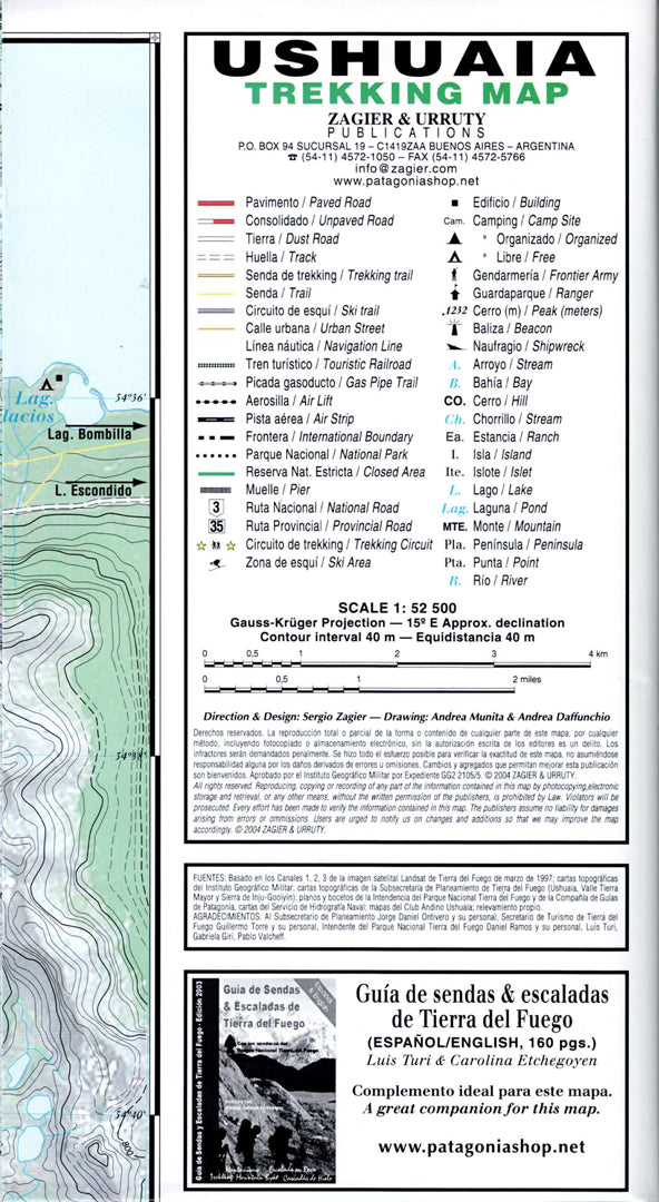
Ushuaia and Tierra del Fuego Trekking Map
Ushuaia and Tierra del Fuego Trekking Map
- Hiking map
- Scale: 1:50,000
- World's End
The Ushuaia trekking map is a professional topographic map at a scale of 1:50,000, designed for navigation, trekking, mountaineering, and route planning in the southernmost region of Argentina.
The map includes contour lines at 40-meter intervals, hiking trails, roads, rivers, lakes, glaciers, camping areas, and key points of interest in the Ushuaia area, Tierra del Fuego National Park, the Beagle Channel, Lago Fagnano, Lapataia Bay, Martial Glacier, Tierra Mayor, and Cerro Castor.
It is especially suitable for hikers, backpackers, mountaineers, tour guides, and nature lovers, and is an essential tool for planning routes and exploring one of the most beautiful and remote areas in the world. Printed in high quality, it is also suitable for map collections.
Couldn't load pickup availability