Map of the Dominican Republic
Map of the Dominican Republic
- Travel map
- Scale: 1:450,000
- National Geographic
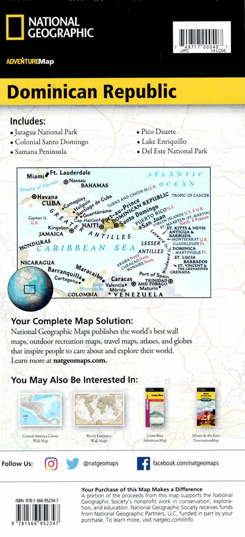
The Dominican Republic Adventure Map is designed for travelers exploring a Caribbean destination rich in tropical rainforests, high mountains, white beaches, and diverse natural areas. The map shows the entire country, including colonial Santo Domingo, the Samana Peninsula, Del Este National Park, Lake Enrique, and Pico Duarte.
The map includes an index of cities and protected areas, a detailed road network with distance markings, main and secondary roads and country roads. Airports, ports, ferry routes and border crossings with Haiti are also marked. Hundreds of natural and cultural points of interest appear on the map, including nature reserves, archaeological sites, mangroves, coral reefs, caves and areas for surfing and diving. Printed on durable, waterproof and tear-resistant synthetic paper - ideal for nature trips and adventures in the Caribbean.
Couldn't load pickup availability