Valdés Peninsula Map – Patagonia, Argentina
Valdés Peninsula Map – Patagonia, Argentina
-
Tourist Map | Nature Map | Road Map | Wildlife Map | Ecotourism Map
- Scale: 1:275,000
- Map in Spanish
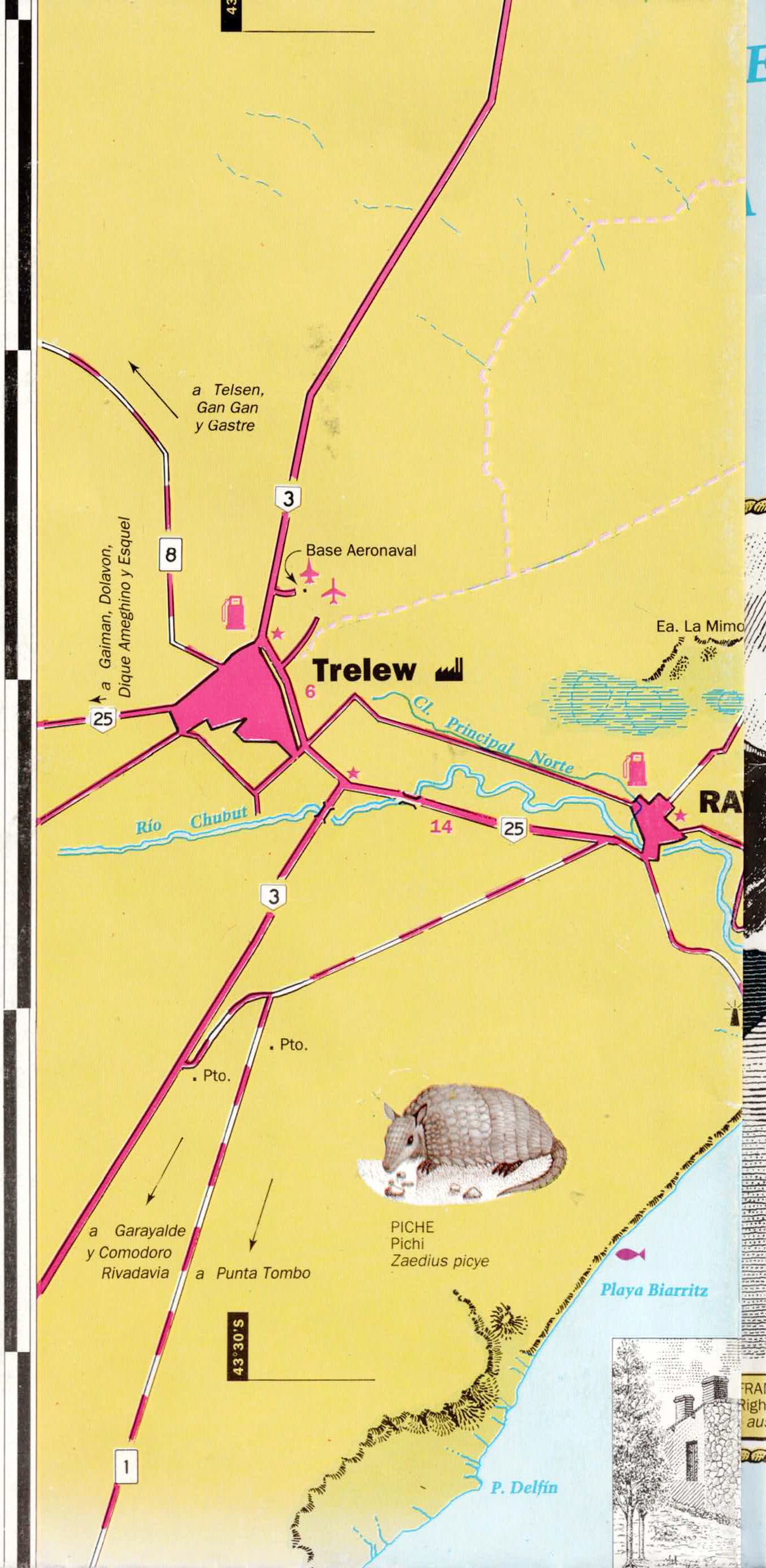
Discover one of the most magnificent natural sites in the world with this map of Península Valdés in Chubut Province, Patagonia, Argentina. This area has been declared a UNESCO World Heritage Site due to its unique biodiversity and is one of the best destinations in the world for viewing marine mammals and wildlife.
The map, at a scale of 1:275,000, shows all roads, settlements, nature reserves, hiking trails, and major points of interest in the area. It includes detailed information on access roads, tourist services, camping areas, hiking trails, sports ports, and observation points.
One of the highlights of the map is its focus on the unique wildlife of Península Valdés. You can find whale-watching areas, sea lions, elephant seals, penguins, orcas (killer whales), dolphins, seabirds, and other animals typical of Patagonia.
In addition, the map includes colorful illustrations and marginal drawings of the terrestrial and marine animals that can be seen in the area, making it not only an excellent navigation tool but also an educational and high-quality nature map.
The map is especially suitable for travelers, nature photographers, naturalists, birdwatchers, animal lovers, families, and anyone planning to visit Patagonia and Península Valdés.
Includes
- Península Valdés
- Puerto Pirámides
- Puerto Madryn
- Trelew
- Nature reserves
- Whale-watching points
- Penguin colonies
- Sea lion and elephant seal colonies
- Hiking trails (Trekking)
- Camping sites
- Roads and access routes
- Sports ports and anchorages
- Tourist services
- Illustrations of marine and terrestrial animals
Couldn't load pickup availability