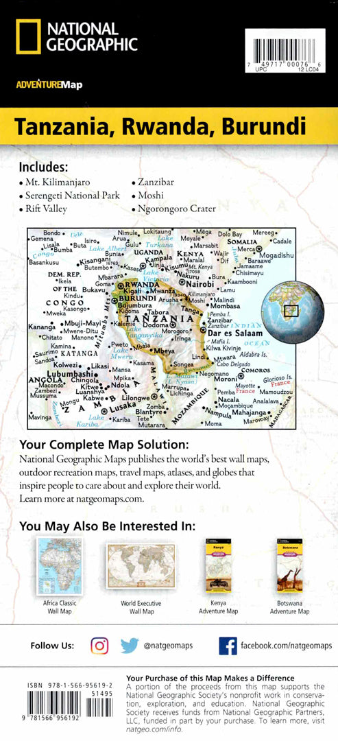
Tanzania map
Tanzania map
- Travel map
- Scale: 1:1,315,000
- National Geographic
The Tanzania, Rwanda and Burundi Adventure Map is designed for safari and adventure travelers in East Africa. The map combines detailed topographical information, a complete road network with major and minor roads, border crossings, ports and ferry routes, along with an index of cities and nature reserves for easy use.
The map covers the whole of Tanzania – from Mount Kilimanjaro and the Serengeti, Ngorongoro and Selous reserves, to the Indian Ocean coast and the islands of Zanzibar, Pemba and Mapia – as well as Rwanda and Burundi and Lakes Victoria and Tanganyika. It shows national parks, nature reserves, forest and wetland areas, diving sites and coral reefs, beaches, archaeological sites, lodges and campsites. Printed on durable, waterproof and tear-resistant synthetic paper – ideal for safaris, trekking and hiking in Africa.
Couldn't load pickup availability