Tour du Mont Blanc Trek Map
Tour du Mont Blanc Trek Map
- Travel map
- Topographic map
- National Geographic
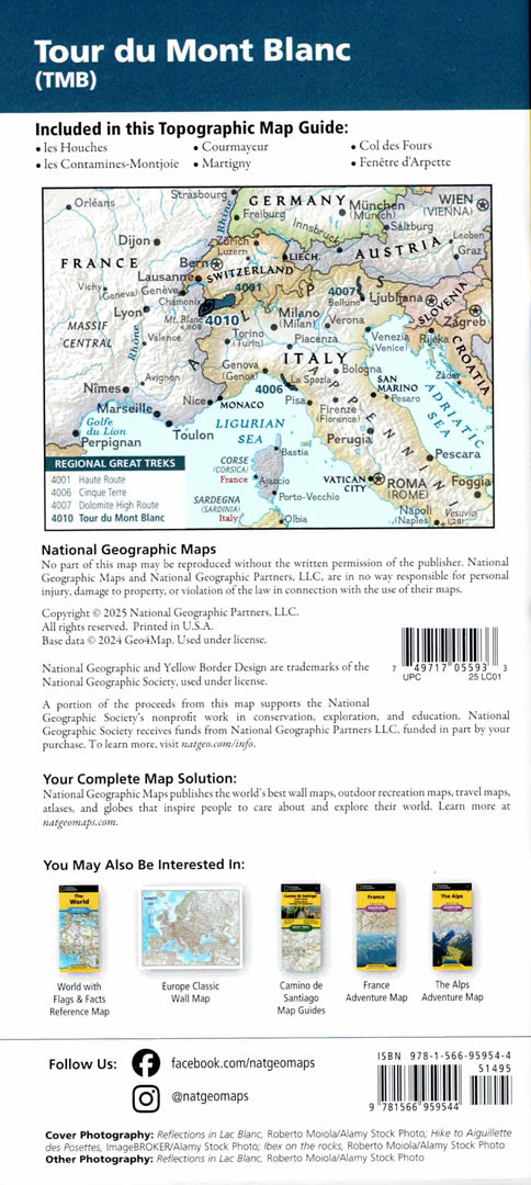
Detailed topographic map of the Tour du Mont Blanc (TMB) route – one of the most famous trekking routes in the world.
The route encircles the Mont Blanc range in the Alps and passes through France, Italy, and Switzerland along approximately 170 kilometers of mountain trails, glaciers, alpine meadows, and picturesque villages.
The map includes a detailed description of the route sections, landmarks along the way, places to stay, mountain huts, and spectacular natural sites. In addition, a full coordinate grid appears to aid in accurate GPS navigation.
Printed on extra strong Backcountry Tough synthetic paper — waterproof and tear-resistant — perfect for trekking and outdoor use.
Suitable for:
• Tour du Mont Blanc trek
• Mountain hiking in the Alps
• Planning hiking trails in Europe
• Topographic navigation in the field
Couldn't load pickup availability