Alta Via 1 Trek Map – The Dolomites
Alta Via 1 Trek Map – The Dolomites
- Travel map
- Topographic map
- National Geographic
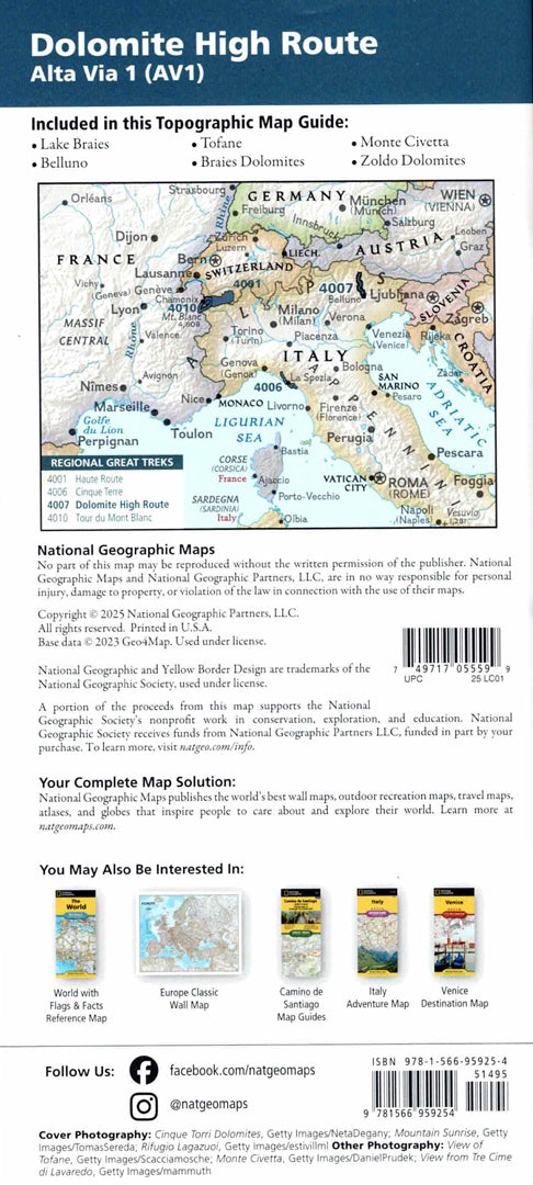
Detailed topographic map of the Alta Via 1 route in the Dolomites – one of the most classic and beautiful trekking routes in the Italian Alps.
The route starts at Lake Braies and ends in the city of Belluno , along about 125 km of mountain trails and dramatic views. The route passes through five major mountain regions in the Dolomites and is divided into about 12 walking sections.
The map includes a detailed description of each section of the route, important landmarks, mountain huts and natural sites along the way. A full coordinate grid allows for precise navigation using GPS.
Printed on extra strong Backcountry Tough synthetic paper — waterproof and tear-resistant — perfect for trekking and outdoor use.
Suitable for:
• Alta Via 1 trek in the Dolomites
• Mountain hiking in Italy
• Topographic navigation in the field
• Planning trekking routes in the Alps
Couldn't load pickup availability