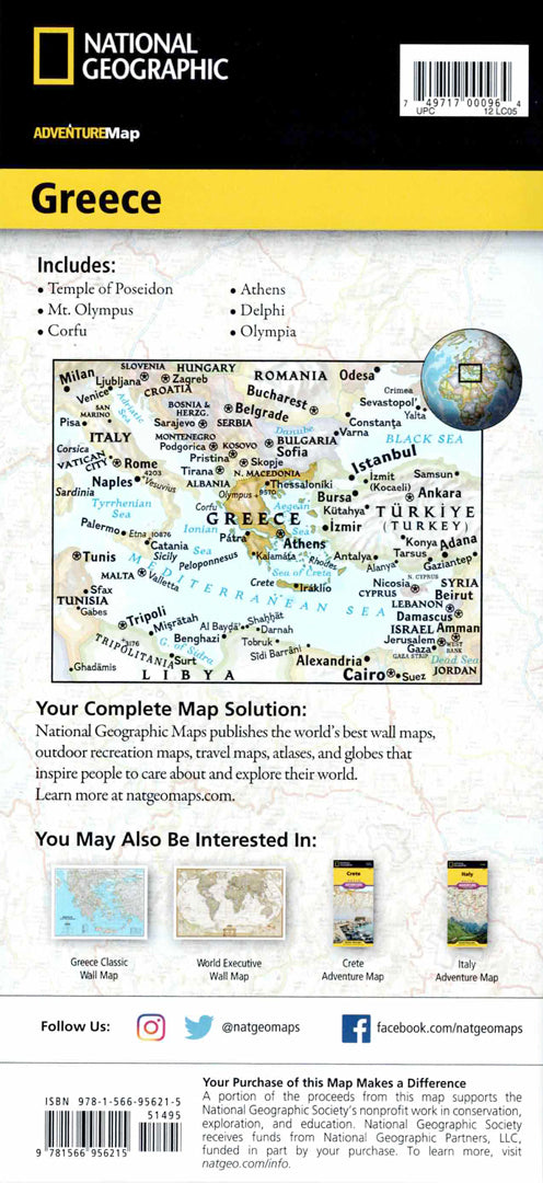
Greece map
Greece map
- Hiking map
- Scale: 1:710,000
- National Geographic
The National Geographic Adventure Map of Greece is an essential tool for travelers looking to discover the country's rich history, stunning beaches, and pastoral islands. The map includes a convenient index of cities and villages, a road network with highways, major and minor roads, special routes, and scenic byways for those who want to travel off the beaten track. It also shows airports, airfields, mountain passes and tunnels, ports, ferries, railroads, and border crossings.
Many points of interest are marked on the map: monasteries, castles, churches, mosques, caves, ski and spa resorts, beaches, archaeological sites, scenic overlooks, national parks and UNESCO World Heritage Sites. The map covers northern Greece from the borders with Albania, Macedonia, Bulgaria and Turkey to Athens, including World Heritage Sites at Meteora and Delphi, and the islands of Kirkira and Zakynthos in sub-maps. The south covers the Peloponnese to the island of Crete, including Rhodes and Mykonos. The map is printed on durable, waterproof and tear-resistant synthetic paper, and is suitable for travel and hiking in difficult terrain conditions.
Couldn't load pickup availability