Physical map of Israel in an antique style
Physical map of Israel in an antique style
-
Physical Map of Israel
- Laminated
- 2026 Update
Antique-Style Physical Map of Israel
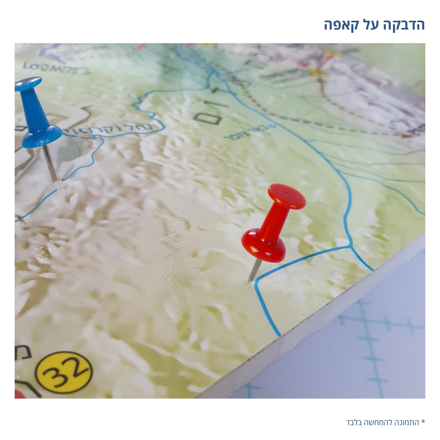
An antique-style physical map of Israel that combines a detailed relief map with a classic, unique design. The map displays the terrain of Israel and its surrounding regions through shading and relief, highlighting the mountains, valleys, and land structure of the country.
The map includes many geographical details, including settlements, cities, roads, water sources, and various regions throughout Israel. The warm tones and antique-style design give the map an elegant and impressive look, making it both a decorative item and a tool for learning about the geography of Israel.
Thanks to the presentation of relief and topography, one can see the surface structure of Israel and the differences between the mountains, valleys, and low-lying areas more tangibly. The combination of detailed geographical information and classic design makes the map suitable for the home, office, study, library, and learning spaces.
The physical map of Israel is suitable for geography enthusiasts, travelers, teachers, students, and anyone looking for a special map of Israel that combines information, relief, and design. It can serve as a map for study and illustration, while simultaneously adding a unique, classic character to the space.
Antique-Style Physical Map of Israel – a combination of geography, relief, and classic design.
*Framed maps and/or maps mounted on foam board cannot be shipped via registered mail.
**It is not possible to order a map mounted on foam board that includes hanging slats.
Couldn't load pickup availability