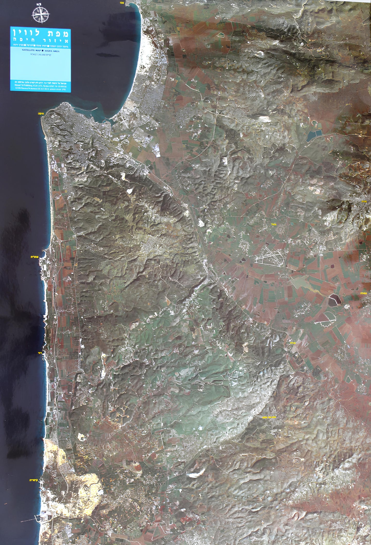
Satellite map of the Haifa area
Satellite map of the Haifa area
Regular price
120.00 ₪
Regular price
Sale price
120.00 ₪
Taxes included.
Quantity
Couldn't load pickup availability
- Satellite map of the Haifa area
- in the Hebrew language
- 100x70 cm
- Scale 1:60,000
- Photo from 1987
- Shmuel Tal Publishing
Satellite photo of the Haifa area, the photo covers the northern coastal plain, Ramot Menashe, the Carmel and Haifa Bay. which consists of color data received from the American Landsat-5 satellite, which passed over the area on January 18, 1987 at 9:30, at an altitude of about 930 km, and black and white data received from the French Spot Image satellite.


