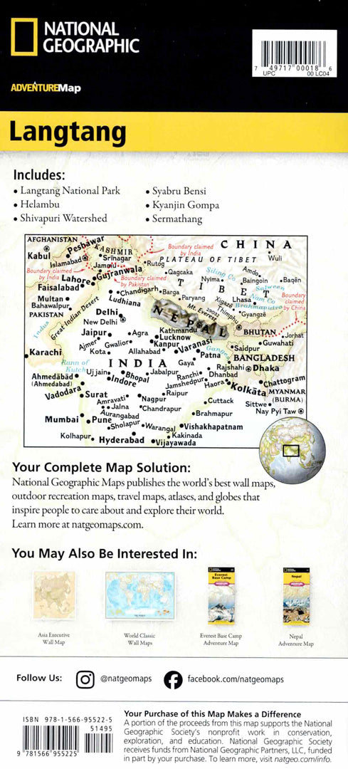
Map of Langtang, Nepal
Map of Langtang, Nepal
- Travel map
- Scale: 1:125,000
- National Geographic
A detailed hiking and trekking map of the Langtang region in Nepal, one of the most impressive areas in the Himalayas.
The map includes trekking trails, a topographic map of Langtang National Park, as well as maps of Nepal, Kathmandu, and the Thamel region. Visitor centers, checkpoints, accommodations, religious sites, and settlements along the routes are marked.
Includes a clear road network alongside important services for travelers such as bus stations, banks, restaurants and embassies.
Printed on extra strong synthetic paper — waterproof and tear-resistant — perfect for trekking, mountain climbing, and adventures in Nepal.
Suitable for:
• Trekking in the Himalayas
• Trip to Langtang National Park
• Route planning in Nepal
• Exploring the Kathmandu area
Couldn't load pickup availability