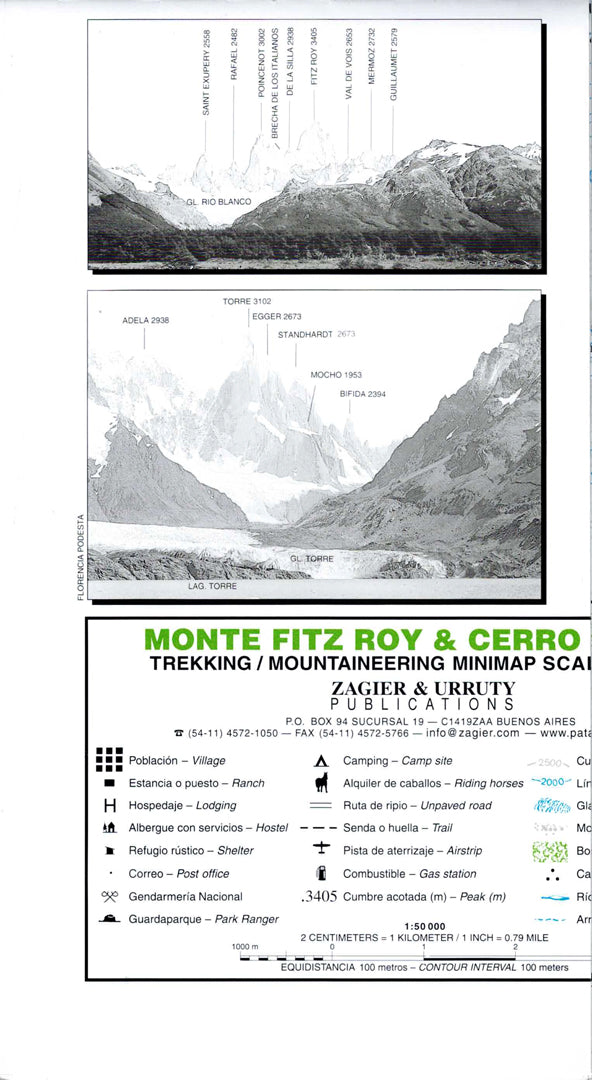
Map of Monte Fitz Roy and Cerro Torre
Map of Monte Fitz Roy and Cerro Torre
- Hiking map
- Scale: 1:50,000
- World's End
The Monte Fitz Roy and Cerro Torre map is a detailed 1:50,000 scale topographic map, designed for trekking, mountaineering, and navigation in the El Chaltén area of Argentine Patagonia. The map includes accurate contour lines, hiking trails, glaciers, rivers, lakes, camping areas, mountain huts, and key points of interest.
The map covers the Monte Fitz Roy area, Cerro Torre, Río Túnel Glacier, Laguna Torre, and the popular trails in Los Glaciares National Park. It is especially suitable for hikers, mountaineers, tour guides, and anyone planning to explore one of the world's most famous hiking and climbing regions.
Printed in high quality and suitable for route planning, field use, and map collections.
Regular price
89.00 ₪
Regular price
Sale price
89.00 ₪
Taxes included.
Shipping calculated at checkout.
Quantity
Couldn't load pickup availability