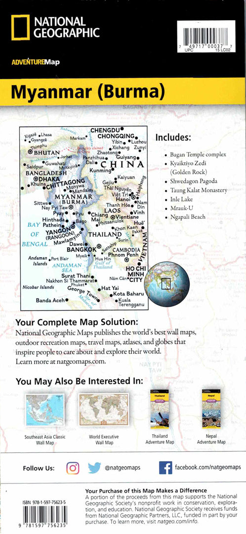
Myanmar (Burma) map
Myanmar (Burma) map
- Travel map
- Scale: 1:1,480,000
- National Geographic
The Myanmar (Burma) Adventure Map is designed for travelers looking to explore a country rich in diverse landscapes and ancient history. The map includes a clear index of cities and towns, a road network with distance markings, main and secondary roads, as well as routes to less touristy areas – ideal for independent travel in Southeast Asia.
The map features hundreds of cultural and natural points of interest, including Bagan, Mandalay and Yangon, the Ayeyarwady River, the northern mountains near the Himalayas, and the Myeik Archipelago in the south. Also marked are historical sites, temples, mountainous areas, borders with China, Thailand and India, and spectacular coastal islands. Printed on durable, waterproof and tear-resistant synthetic paper – perfect for adventures and trips in outdoor conditions.
Couldn't load pickup availability