Western Canada Map
Western Canada Map
- Travel map
- Scale: 1:2,100,000
- National Geographic
ֿ
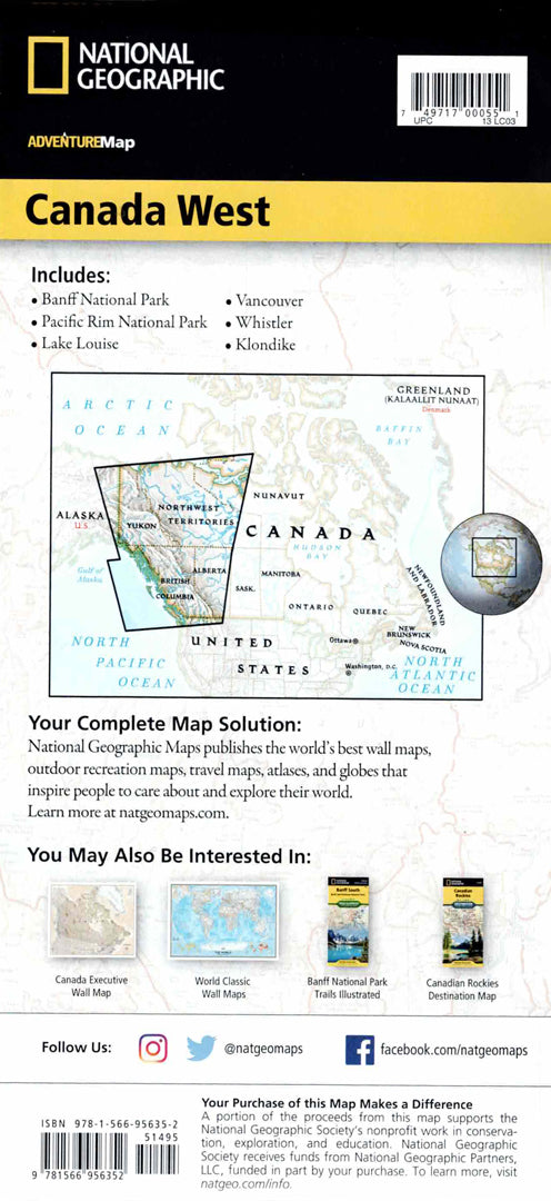
The Western Canada Adventure Map is designed for travelers exploring the stunning natural areas of British Columbia, Alberta, Yukon, and the Northwest Territories. The map includes a clear index of cities and towns, a detailed road network with distance markings, highways, and secondary roads – ideal for nature walks and road trips in Canada.
The map features hundreds of points of interest, including Banff and Jasper National Parks, the Rocky Mountains, Vancouver Island, the British Columbia Rainforest, the Nahanni River, Great Bear and Slave Lakes, nature reserves and World Heritage Sites. One side shows the Northern Territories and Arctic Territories, while the other side highlights the Coast Mountains, the Rockies and the major cities of Western Canada. Printed on durable, waterproof and tear-resistant synthetic paper – perfect for hiking, skiing, whale watching and wilderness adventures.
Couldn't load pickup availability