Mexico map
Mexico map
- Hiking map
- Scale: 1:2,425,000
- National Geographic
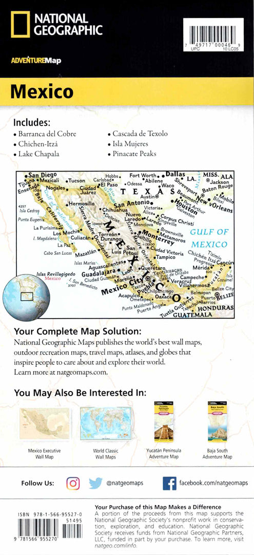
The Mexico Adventure Map is designed for travelers interested in exploring a country rich in history, culture, and ecological diversity. The map includes a convenient index of states, cities, and localities, a clear road network with distance markings, toll roads, and highways, as well as secondary roads for planning road trips and independent excursions.
The map shows the Baja California Peninsula, the Gulf of California, Mexico City, Guadalajara, Monterrey and Acapulco, as well as border areas with Belize, Guatemala and parts of Honduras. Hundreds of natural and cultural sites are marked, including national parks, nature reserves, archaeological sites, forts, caves and UNESCO World Heritage Sites. Printed on durable, waterproof and tear-resistant synthetic paper - ideal for traveling, exploring culture and adventures in Mexico.
Couldn't load pickup availability