Namibia map
Namibia map
- Travel map
- Scale: 1:1,200,000
- National Geographic
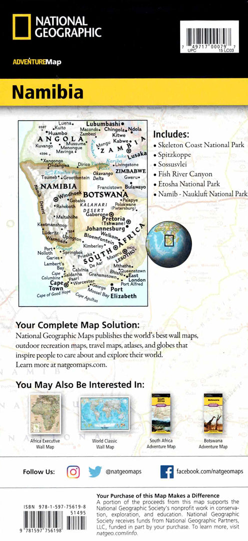
The Namibia Adventure Map is designed for travelers looking for detailed and accurate information for independent travel. The map includes a clear index of cities and towns, a road network with distance markings, main and secondary roads, as well as markings of private lodges, campsites and government accommodation sites - perfect for exploring remote areas.
Namibia is located in southwestern Africa and is characterized by a dry climate, Atlantic Ocean coasts and the impressive dunes of the Namib Desert. Its eastern border is bordered by the Kalahari Desert. Protected areas cover about 15% of the country's territory and include nature reserves rich in wildlife such as cheetahs, lions, zebras, giraffes and elephants. The map shows key areas such as the Skeleton Coast Reserve, the Namib-Naukluft National Park, the Tsavo//Khaba Park and the city of Windhoek. Printed on durable, waterproof and tear-resistant synthetic paper - ideal for outdoor travel.
Couldn't load pickup availability