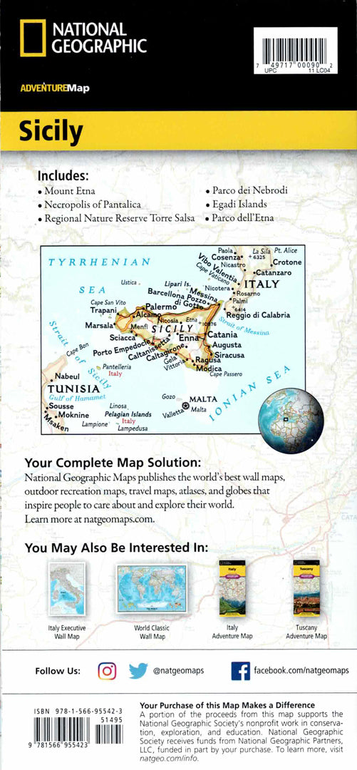
Map of Sicily, Italy
Map of Sicily, Italy
- Hiking map
- Scale: 1:225,000
- National Geographic
A detailed travel map of Sicily – the largest island in the Mediterranean Sea – with full coverage of cities, ancient sites, beaches and nature reserves.
The map includes Palermo, Catania, Messina, Syracuse and Agrigento, along with ancient Greek temples, castles, museums and heritage sites. A road network is marked with distances, expressways and scenic routes for easy route planning.
The map is printed on both sides:
The western part of Sicily on one side, and the eastern part including Mount Etna and the nearby islands on the other.
Printed on extra strong synthetic paper — waterproof and tear-resistant — perfect for cultural trips, beaches, and active volcanoes.
Suitable for:
• Trip to Sicily
• Exploring Greek and Roman sites
• Visit to Mount Etna
• Planning coastal routes and historic cities
Couldn't load pickup availability