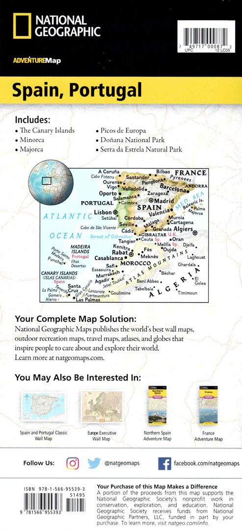
Map of Spain and Portugal
Map of Spain and Portugal
- Travel map
- Scale: 1:1,100,000
- National Geographic
A detailed travel map of Spain and Portugal including major cities, beaches, cultural sites and heritage sites throughout the Iberian Peninsula.
The map displays hundreds of points of interest such as museums, historical sites, parks and nature reserves. A complete road network with distances, highways and secondary roads allows for easy route planning.
The map is printed on both sides:
The eastern part shows Spain from the border with France and Andorra to the Mediterranean coast, and the second part includes Portugal and western Spain as well as the Canary Islands.
Printed on extra strong synthetic paper — waterproof and tear-resistant — perfect for trips to cities, beaches, and cultural sites in Europe.
Suitable for:
• Trip to Spain and Portugal
• Exploring historic cities
• Planning travel routes in Europe
• Beach and nature walks
Couldn't load pickup availability