Sequoia and Kings Canyon Map – California
Sequoia and Kings Canyon Map – California
-
Topographic map | Hiking map | Trail map | National Parks
- Scale: 1:62,500
- National Geographic
Detailed topographic map of Sequoia & Kings Canyon National Parks in California.
The map shows the impressive mountainous region of the Sierra Nevada, with contour lines, peaks, hiking trails, roads, parking lots, viewpoints, camping areas, and points of interest.
Among the prominent areas featured on the map are General Grant Grove, Redwood Mountain Grove, Giant Forest, Kings Canyon, Big Meadows, Cedar Grove, and other areas throughout the parks.
The map allows users to understand the terrain and the trail network in the area, and is especially suitable for planning trips, hikes, and nature excursions.
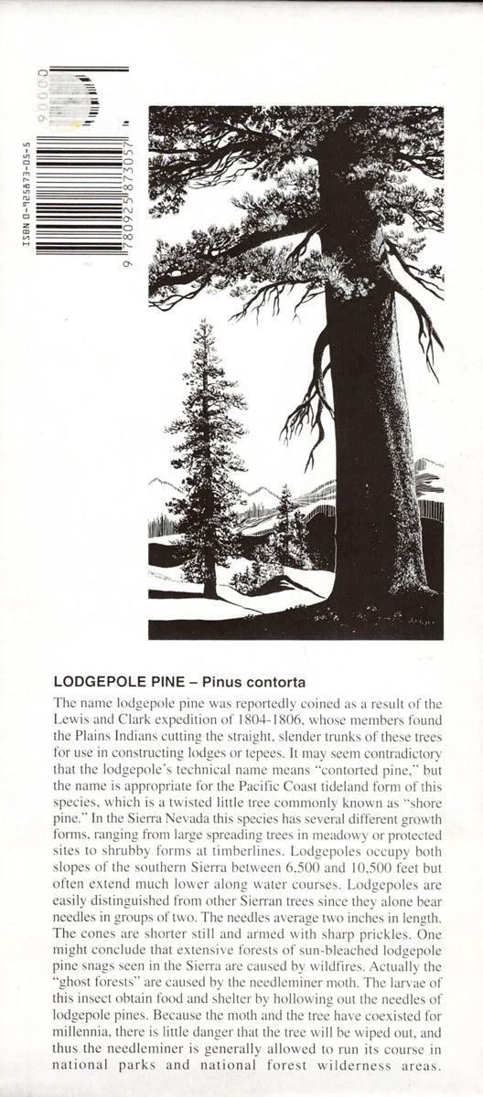
It also includes information about the natural environment, including the impressive Sequoia trees characteristic of the area. The accompanying booklet also contains information about Lodgepole Pine and the flora and fauna of the region.
Printed on plastic material, the map is exceptionally durable and suitable for outdoor use.
Features
• Sequoia and Kings Canyon Parks
• California, USA
• Topographic map
• Contour lines and terrain features
• Hiking trails
• Roads and access routes
• Parking lots and camping areas
• Viewpoints
• Giant Forest
• General Grant Grove
• Redwood Mountain Grove
• Kings Canyon
• Big Meadows
• Cedar Grove
• Durable plastic material
• Waterproof and tear-resistant
Couldn't load pickup availability