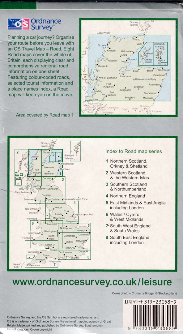
Map of Northern Scotland, Orkney Islands and Shetland Islands
Map of Northern Scotland, Orkney Islands and Shetland Islands
- Road map
- Scale: 1:250,000
- Ordnance Survey
The Ordnance Survey Travel Map of Northern Scotland, Orkney Islands, and Shetland Islands is designed for planning road trips and journeys throughout one of the most beautiful and wild regions in the UK. The map displays a network of main and secondary roads, towns, villages, ferry crossings, tourist sites, parks, and scenic areas, alongside a detailed gazetteer.
The map covers Northern Scotland, the Highlands, Orkney, and Shetland Islands, and is particularly suitable for car travelers, caravan owners, tour companies, and anyone planning an independent route in Scotland.
Printed in high quality, it serves as an excellent tool for route planning, navigation, and as a travel map.
Regular price
89.00 ₪
Regular price
Sale price
89.00 ₪
Taxes included.
Shipping calculated at checkout.
Quantity
Couldn't load pickup availability