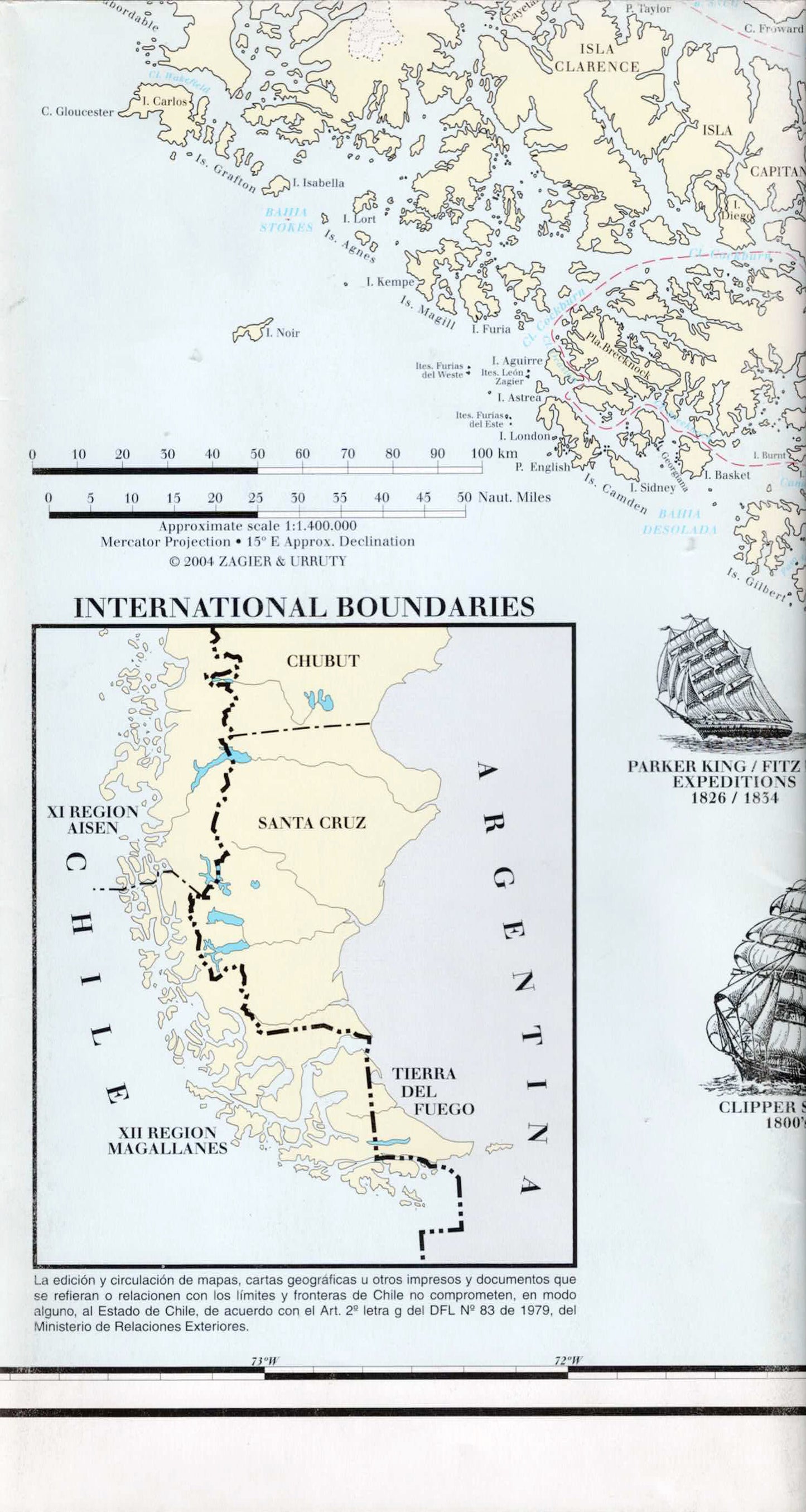
Map of the Patagonian Canals and Tierra del Fuego – Fjords of Chile | Strait of Magellan, Beagle Channel and Cape Horn
Map of the Patagonian Canals and Tierra del Fuego – Fjords of Chile | Strait of Magellan, Beagle Channel and Cape Horn
-
Nautical Map | Navigation Map | Sailing Map | Hiking Map
- Scale: 1:1,400,000 • 1:250,000 • 1:200,000
- Map in English
Discover the southern tip of South America with a detailed nautical map of the Patagonian Channels and Tierra del Fuego, including the fjords of Chile and the most renowned sailing areas in the south of the continent.
The map includes the Strait of Magellan, Beagle Channel, Cape Horn, Ushuaia, Punta Arenas, Cordillera Darwin, Seno Agostini, and other important maritime areas. Additionally, it features detailed maps of key navigation areas, international borders, and useful information for sailing and route planning.
This is an excellent map for sailors, travelers, geographers, Patagonia enthusiasts, and collectors of nautical maps.
Features
• Patagonian Channels and Tierra del Fuego
• The fjords of Chile
• Strait of Magellan
• Beagle Channel
• Cape Horn
• Ushuaia and Punta Arenas
• Detailed maps of key navigation areas
• International borders
• Suitable for planning sailing routes and trips
Couldn't load pickup availability