Finger of the Galilee satellite photo
Finger of the Galilee satellite photo
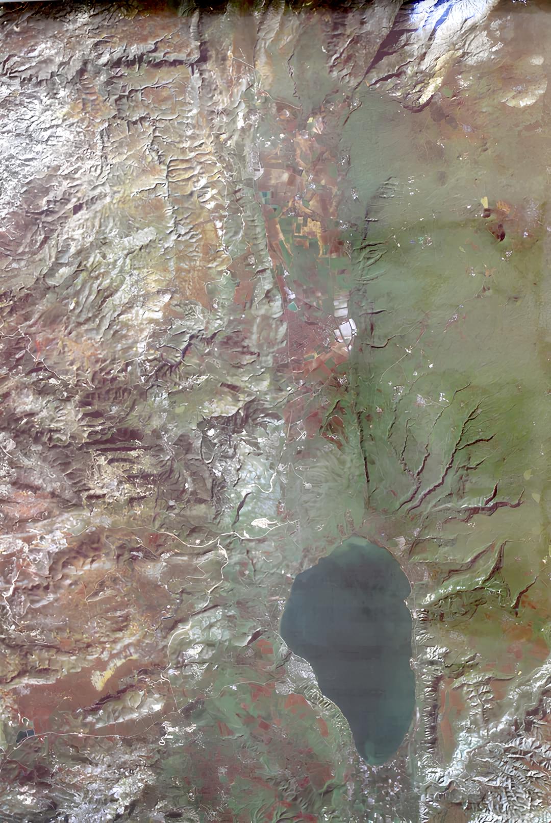
- Satellite photo of the finger of the Galilee
- 80x55 cm
- Photo from 1990
Satellite photo of the finger of the Galilee. The photograph includes the Hula Valley and a strip east of the Naftali Mountains of the Upper Galilee. The borders of the area: in the west and north the Israel-Lebanon border, in the east the Golan Heights and the Jordan Mountains, in the south an imaginary line between Kibbutz Malkia and Gonen.
The area of the Finger of the Galilee was added to the territory of the British Mandate on the Land of Israel in 1924, in an agreement between it and the French Mandate on Syria and Lebanon.
Its nickname was given to it due to its elongated and narrow shape, like a finger sticking out to the north.
Regular price
65.00 ₪
Regular price
Sale price
65.00 ₪
Taxes included.
Shipping calculated at checkout.
Quantity
Couldn't load pickup availability