Colombia Map
Colombia Map
- Hiking and Navigation Map
- Scale:
1:1,525,000
- National Geographic
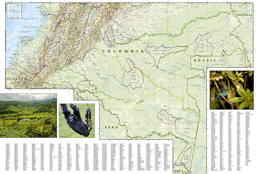
A detailed map of Colombia for planning trips, navigation, and getting to know the country.
The map includes cities, roads and distances, secondary roads and trails, alongside airports, railways, ports, and border crossings.
You will find hundreds of points of interest, including World Heritage Sites, protected areas, beaches, archaeological sites, and opportunities for diving, fishing, surfing, and paragliding.
The map covers Colombia from the border with Venezuela and Panama to the Amazon region and the borders with Peru, Ecuador, and Brazil, including Bogotá, Cartagena, Medellín, Cali, and Popayán.
Made from a synthetic material that is water and tear-resistant, and especially suitable for travel.
Regular price
89.00 ₪
Regular price
Sale price
89.00 ₪
Taxes included.
Shipping calculated at checkout.
Quantity
Couldn't load pickup availability